Elevation Certificate
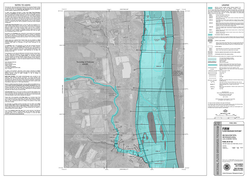
Residential flood insurance premiums are based on Flood Insurance Rate Maps (FIRMs) prepared by the Federal Emergency Management Agency (FEMA.) Premiums are high when the mapping shows a given residence within the 1% flood hazard area. This cost can be substantially reduced if an elevation certificate survey shows the structure to be, in fact, vertically above the 1% flood elevation. If so, the Elevation Certificate can be used to support your request for a Letter of Map Change (LOMC) and a reduced insurance fee.
For more information about changing your flood hazard status we include this FEMA link:
https://www.fema.gov/flood-maps/change-your-flood-zone